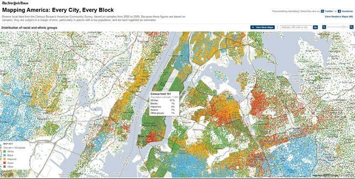
Mapping America: Every City, Every Block, at the New York Times website, takes several limited subsets of US Census data and plots them across the whole country for every census tract (which is at the neighborhood scale for much of the US).

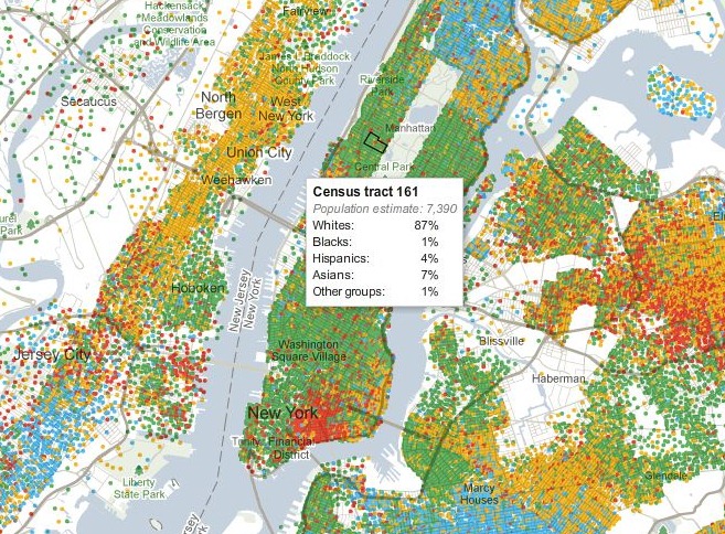
Pass the mouse cursor over the map, and data for every tract shows up in a pop-up window:

You can choose a limited number of map variants from the following categories:
- Race and Ethnicity
- Income
- Housing and Families
- Education
If you come up with a map that looks interesting, you can share it on Facebook or Twitter. No way to export map data, or map graphics (except with a screen capture).