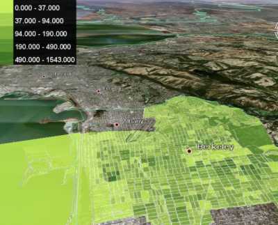
ExtremeTech has an article about the gCensus site, which lets you select US Census tabular data using a web-based interface, and convert it into a Google Earth KML file. Examples include a plot of population density in the Berkeley, CA area:

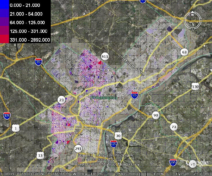
and a plot showing racial segregation in Philadelphia:

Only data from Summary File 1 is currently available, but the site creator intends to add additional data later on.