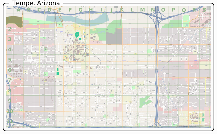
MapOSMatic – Select an area by a bounding box, or by administrative boundaries (database for the latter is currently very limited), and get a map of the area in PNG, PDF, and/or SVG format, with letter/number grid indexing:

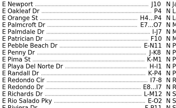
And also get a street index for that map referenced to the letter/number grid:

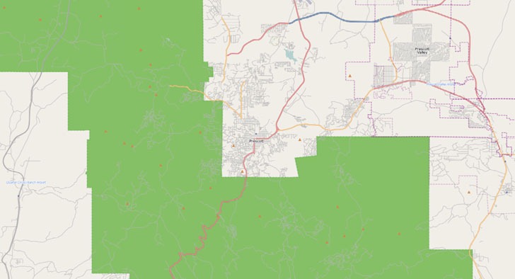
OSM Extractor: Select an OSM map area by bounding box, and download georeferenced raster or vector data for that area. Vector data is available in shapefile or native XML format, but to limit its size, you have to zoom in to city level to download it. No such area limitations on raster data in GeoTiff format:

But it only saves the data in screen resolution, which limits the detail level. All data is in geographic (Plate Carree) projection, WGS84. If you have a pop-up blocker, you’ll need to set an exception for “vizure.com” so that the data download pop-up can appear.
Gwigo
Since it seems your blog covers just about everything mapping related, I thought that Gwigo (Go Where I GO) might interest you. It’s a mapping-social network site that allows you to create cool maps of things that interest you and allow non-gwigo users to vote on the locations you map. If you are Gwigo friends with another person, you can view their points, give them a ranking, comment on them etc.
Anyhow it seemed up your alley. Check it out at http://www.gwigo.com