I’ve been using the website of my local National Doppler Radar Station for years now to monitor the animated radar precipitation loop, but I just noticed that there are a pair of links labeled KML and GIS Users. The KML link takes you to a page where you can select and generate a KML/KMZ link to live radar data from any single radar station, or from custom combinations of multiple radar stations. You can select from the data type you want:
- Short-Range Reflectivity
- Long-Range Reflectivity
- Composite Reflectivity
- Velocity
- Storm Relative Motion
- 1 Hour Precipitation
- Storm Total Precipitation
and choose either animated loops or static images to display in Google Earth:

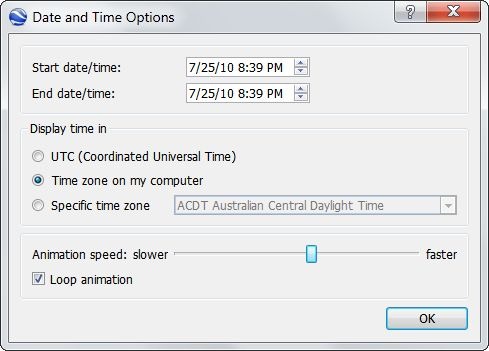
For animated loops, I’d recommend setting the animation speed slider in the middle of the range or higher, and checking the Loop Animation box:

And it usually takes several loops before all the image overlays fully load in for display.
The generated KMZ files are network links, updated every two minutes so that they’re always current. So if you download a KMZ link from this site, open it in Google Earth, then save it in My Places, you’ll always have it available for up-to-date radar views.
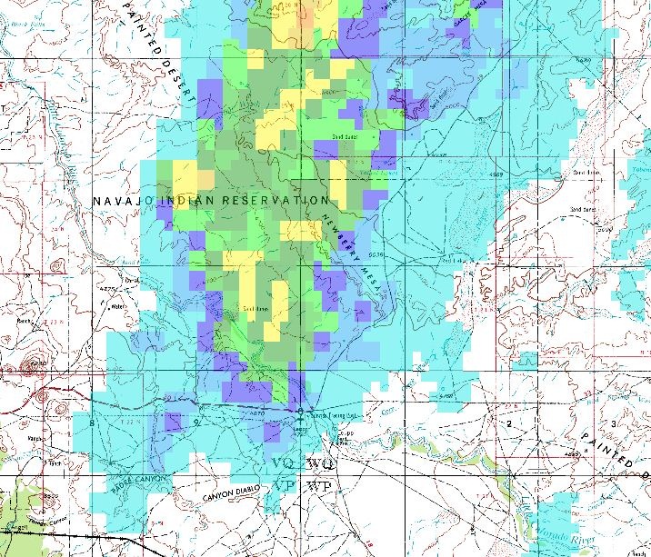
The GIS Users link takes you to a general info page, and then to a directory page where you can download static GIF images with current radar data. You’ll need to know the three-letter code designation for your desired radar station, but there doesn’t seem to be an easy way to look that up; go to the main page, click on the desired radar station, then hunt around on the page to find the 3-letter code. The GIF images have corresponding .gfw worldfiles for georeferencing (latitude/longitude, NAD83), so you can load them into your GIS viewer. The GIF background color is transparent, so if your GIS viewer supports it, you can display the data as an overlay on top of another map, like this one of one-hour-total precipitation on top of a topo map:
