The open source GIS MapWindow (Windows only) has just put out its latest Stable Release (SR), version 4.5. This is the first SR in about 8 months. New features include:
- “Bookmark View” capability
- Ability to change map background color
- New string functions in DBF table editor – trim, substring, toupper, tolower
- Better Intellisense-like editor for scripts
- Improved keyboard shortcuts
- A new measuring tool for distances/areas (though it’s a bit flaky; it requires a PRJ file to work, and even then sometimes balks)
- A label-moving tool
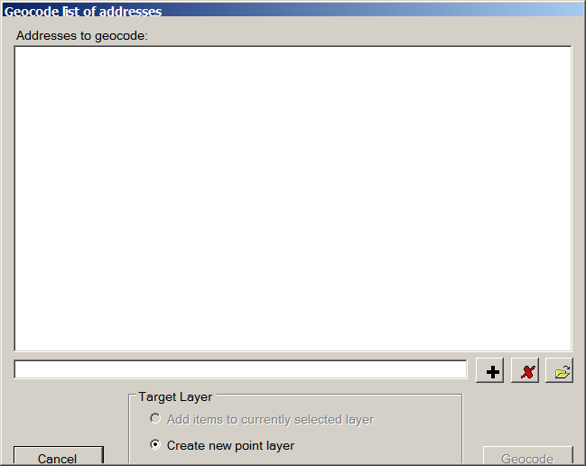
- Google Geocoder: Geocode a single address or list of addresses, and converts them to shapefile format (requires free Google API key; limit of 5000 addresses per day)
- Live connection to a GPS, with position reporting and track/NMEA logging
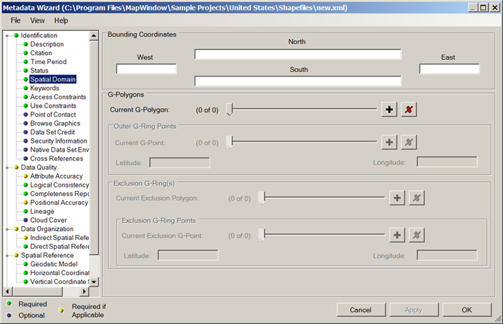
- A full metadata editor and viewer that creates FGDC-compliant metadata XML files using a wizard:
All this, of course, in addition to its many other GIS functions.
1 Response to “New Stable Release Of MapWindow GIS”