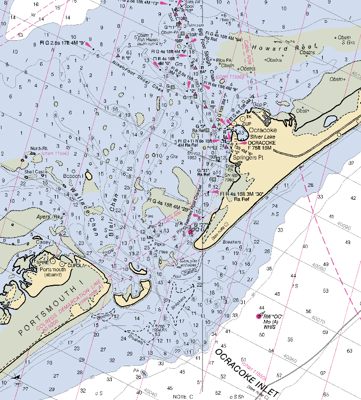
NOAA’s Office Of Coast Survey has downloadable copies of regularly-updated RNCs (Raster Navigation Charts). The updated charts are in BSB format, not supported by many GIS and graphic software programs, but there’s a list of links to free and demo software packages capable of displaying BSB files in georeferenced format (like Caris EasyView and GPSNavX). The site indicates that NOAA will issue GeoTiff versions of these charts at some unspecified point in the future, but those charts will not be as regularly updated as the BSB charts will. Selection is either by chart number or a graphical viewer (requires Java):
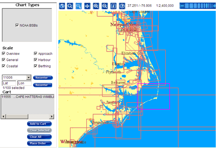
To choose a chart for downloading in the graphical viewer, click the “Selection Mode” button at the top, then click on the rectangle defining the chart area (clicking inside the rectangle does nothing). Click “Add To Cart” at left, which adds it to a list of charts to be downloaded. When you’re done selecting charts, click on “Place Order”, and follow the directions to get a zipped copy of the BSB chart (response time to the button-pushing may be slow):
Native map projection for the georeferencing is Mercator NAD83, in meters.
Hello,
For info the 1018 nautical raster maps from NOAA stored in the GeoGarage spatial image web server can be viewed seamless as an overlay layer in Google Maps :
http://demo.geogarage.com/noaa
—
Peio Elissalde