At one time, Virtual Reality Markup Language (VRML) was going to be the next big thing on the Web; fully-interactive 3D environments were going to change the way we interacted with the Internet, and our computers. Didn’t quite work out that way – most people were on dial-up back then, which was too slow to make VRML practical. Even after broadband became more prevalent, it turned out that most people didn’t really want to interact with their computers that way. For displaying maps in an interactive 3D environment, Google Earth, World Wind, and other similar programs have pretty much supplanted VRML. But there may still be a place for it in some applications: you can use higher-resolution terrain than what’s currently available in Google Earth/WorldWind along with your own image overlays, the computing requirements are reduced, and the filesize for VRML worlds is usually pretty small. And you can get both stand-alone VRML viewers and browser plug-ins for multiple platforms for free.
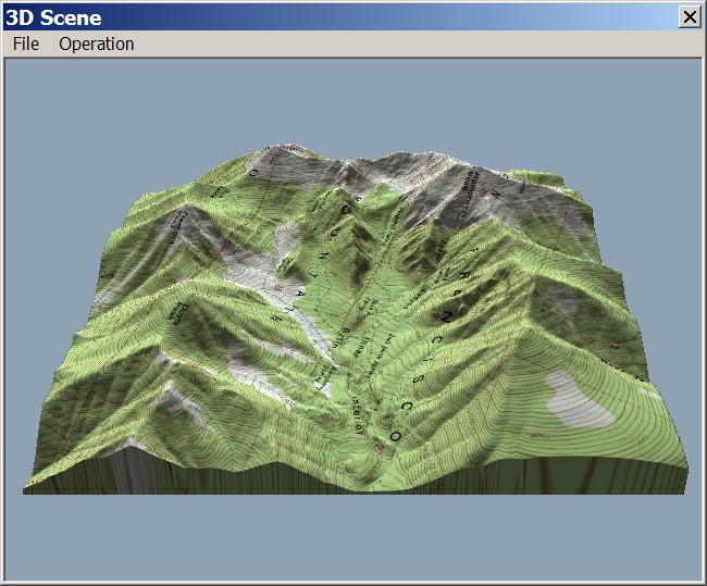
3DEM makes creating a VRML world easy. From yesterday’s post, if you’re in a “Foreground” terrain view:

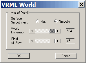
Select choose File=> Save VRML World; a file save dialog will open asking where you want to save the files. Next, you’ll be asked to specify some additional parameters for your VRML world:

Surface Smoothness and World Dimension set the effective resolution for your VRML world. Flat is less detailed than Smooth, and creates a smaller file size, but given the speed of modern computers, there’s little reason not to set Surface Smoothness and World Dimension to their maximum. Click OK, and two files will be created: an *.wrl file, which contains the terrain data, and a *.jpg file that contains the image data that overlays the terrain. You’ll need to keep both files together in the same folder when viewing the VRML world
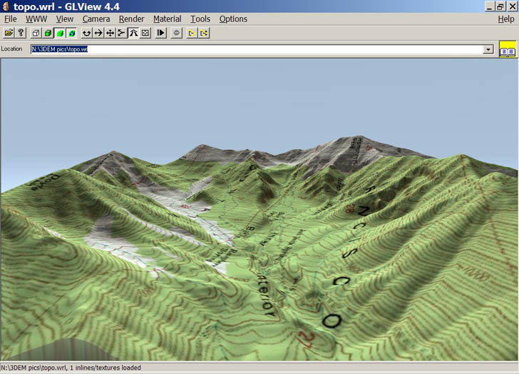
To view the result, you’ll need a VRML viewer. Here’s a screenshot from GLView:

Using the controls in this program, I can walk or fly around the terrain, zoom in and out, change my viewing angle and altitude, take snapshots, and so on.
GLView is the best VRML viewer I’ve seen, but unfortunately it’s no longer available for public distribution. But there’s a good VRML browser plug-in called Cortona available for free from Parallel Graphics. There’s also a stand-alone VRML viewer available from Octaga, but I haven’t actually tried that one myself.