In addition to a subscription service with more data, features and capabilities, Social Explorer offers an easy-to-use demographic data mapping and download service, with US Census data from 1940-2000. Select from population, age,sex, marital status, race, education, housing, industry and many more. Each category has its own set of subcategories to choose from for mapping, e.g. for population you can plot population density, % urban, % rural, % inside urbanized areas and % inside urbanized clusters.
The Maps Social Explorer opens up a Flash (?) interface, with demographic parameters selectable using the drop-downs at the upper right. Mapping can be done by census tract (as above), or by 2000 Congressional District boundaries. You can zoom into any area of the US:
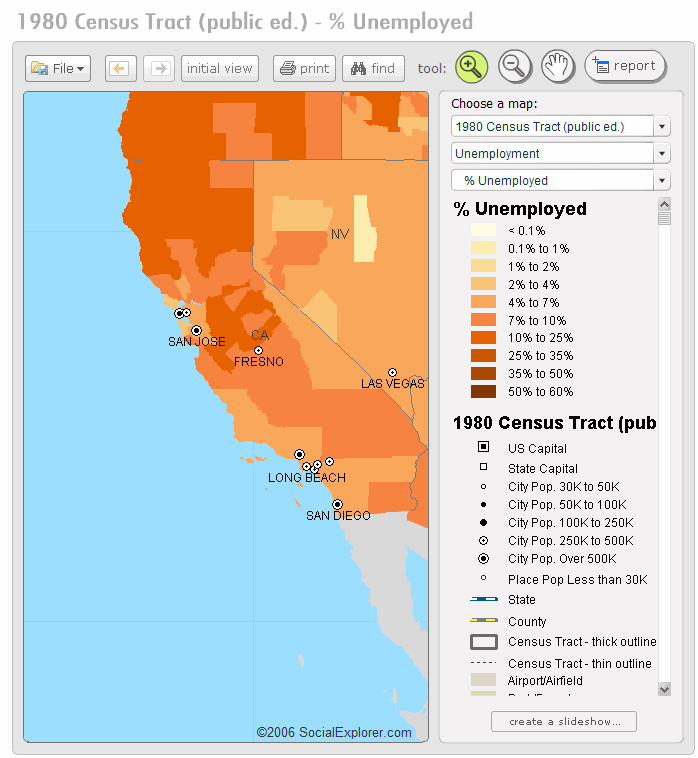
Select Print, and the map and legend will open up as images in a separate window, so that you can save or print them. Select Report, and you can view tabular data for a selectable area of the visible map, and download it in Excel format.
With the Reports Social Explorer, view similar demographic data for the entire US, state, county or census tract in tabular format on-screen, and download it in Excel format.