If you need to quickly bang out a “hand-annotated” map, you could do worse than ESRI’s Sketch-A-Map site. You have the choice of three different map backgrounds to draw on:
- USGS topographic maps, with the scale type (1:24K, 1:100K, or 1:250K) determined by your zoom level

- Standard street maps (with some terrain shading)

- Satellite maps / aerial imagery

All three images above are at the highest zoom level available, so don’t expect to do house-by-house annotations.
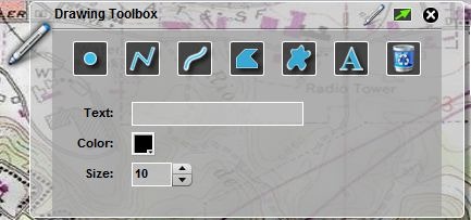
You can zoom in to an area with pan/zoom, or use the “Locate” tool to specify latitude/longitude or address to go immediately to that location. Once there, select your desired drawing tool from the Toolbox:

And annotate your map:

The “Trash Can” icon wipes the map clean of all annotations; unfortunately, there doesn’t seem to be a way to remove a single added object, not even the most recently-added one. So think of this as drawing in pen on a paper map, where you just have to deal with any mistakes you’ve made or start over completely.
Once done, you can use the “Drawing” menu to select “Print or Save”; this gives you the option of either directly printing the map, or saving it in PNG format. Images are saved at the same pixel dimensions they have in your browser window, which will depend on your display monitor, and whether the browser fits the full screen.
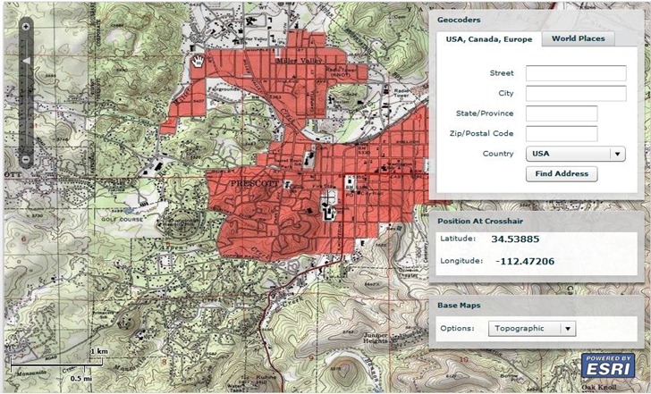
The same ESRI site offers a basic geocoder, which lets you pull latitude/longitude coordinates up by address, or the center spot on a map:
