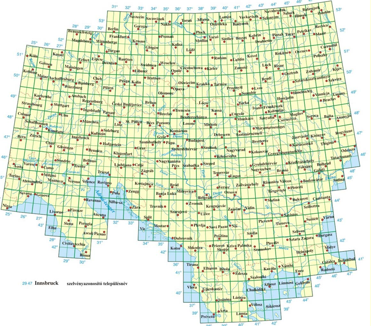
If anyone speaks Hungarian, perhaps they could translate the name of the site III. katonai felmeres for me. Fortunately, English text on the website explains what you find there: maps from the the 3rd Military Mapping Survey of the Austro-Hungarian empire, covering much of Eastern and Central Europe. The range covered goes from Istanbul in the southeast to Cologne in the northwest:

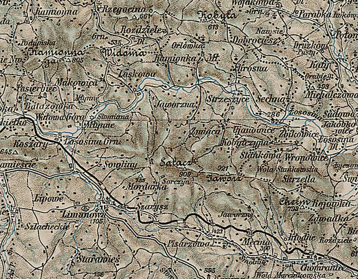
265 maps are available in JPG format, each about 3-5 MB in size (15-20 megapixels, with varying aspect ratios); you can select a map to view by clicking on the appropriate square on the above map at the site, or select from a list with information about the maps, including their publication dates. 1880-1914 seems to be the date range, with most after 1900, and none post-dating the start of World War I in 1914. A quick look at a few maps show that some of them only have rudimentary terrain shading:

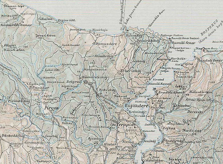
While others have some topographic contour lines (no intervals in this case, though summit heights are given):

Of interest to those who want to see what Europe looked like before the two World Wars.
Hi there,
The “III. Katonai felmérés” is stands for the “3rd Military Survey Mapping”.
katonai – military
felmérés – survey (mapping)
Actually I rectified many of these maps under the current hungarian projection in a private project some years ago.
Best regards
Zsolt
The similar content for Czech republic and former Czechoslovakia you can find here:
http://oldmaps.geolab.cz/?z_height=330&z_width=700&z_newwin=1&&lang=en
The Hungarian name most probably stays for what you already said – 3rd military mapping survey. There were 2 other preceding surveys, the maps based on them are available for the Czech republic on the above mentioned link.
Regards, Jan
III. – third
katonai – military
felmeres (missing some accents over the “e”s) – survey
so you have it right.
Hi,
maybe you ran out of freeware geographtols ;-)
perhaps this is worth a review:
MicroCAM
http://www.csiss.org/map-projections/microcam/index.html
Regards
Kurt